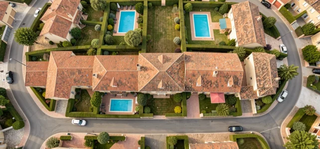
Aerial photography by drone has become a standard in high-end real estate listings. However, measuring its actual impact on the sale of a property, and especially anticipating the hidden costs related to the 2026 regulations, requires a more nuanced understanding than the simple “wow” effect of a photo taken from the sky.
Cost and timelines for real estate drone services in 2026
The price of aerial capture for real estate varies according to several parameters that are not limited to flight time. The nature of the property, the location, and the type of deliverable (aerial photo only, video, virtual tour) significantly affect the final bill.
| Type of service | Deliverable | Average delivery time | Main regulatory constraint |
|---|---|---|---|
| Aerial photos (set of 10-15) | Retouched HD files | Few days | Flight declaration in populated areas |
| Short aerial video (1-2 min) | Ready-to-broadcast edit | About a week | Prefectural authorization if in a dense urban area |
| Complete capture (photo + video + 360°) | Real estate listing package | Up to two weeks | DGAC declaration + neighbor owner’s agreement |
This table reflects a reality that many agencies underestimate: the administrative delay often exceeds the technical delay. Since the regulatory updates of 2026, drone operators must provide more preliminary documents, which lengthens the production chain of a listing.
For properties located in urban areas, it is possible to discover the site www Paris vu d’avion to evaluate services suitable for densely populated areas where flight constraints are the most stringent.
Drone regulations and real estate: what concretely affects profitability
European regulations now categorize drone flights (Open, Specific, Certified). For a classic real estate service, most missions fall under the Open or Specific category, depending on the proximity to people and buildings.
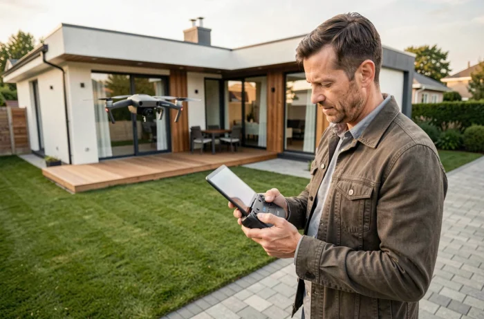
Every flight in populated areas requires prior declaration. In 2026, documentary requirements have tightened: the remote pilot must have an up-to-date European license, insurance specifically covering aerial photography activities, and the drone must be registered with the DGAC.
Impact on small providers and independent agents
A real estate agent who wishes to pilot a drone themselves for their listings must undergo certified training. The cost of this training, combined with the purchase of equipment and insurance obligations, represents an investment that only structures with a regular volume of mandates can amortize.
On the other hand, going through a specialized provider allows for the sharing of these costs. The time saved on the regulatory side often justifies the price difference, especially for properties located in high-density areas where permits take longer to obtain.
- Mandatory European remote pilot license, with periodic renewal and ongoing training
- Specific drone liability insurance, distinct from the agent’s standard professional insurance
- Drone registration on the DGAC’s AlphaTango portal before any commercial flight
- Compliance with maximum flight heights and safety distances from uninvolved persons
Aerial photo and drone video: measuring the real effect on a real estate listing
The marketing argument for aerial views is based on a shared observation among industry professionals: a listing with drone video generates significantly more qualified contacts than a listing limited to interior photos. The potential buyer better perceives the environment, orientation, size of the land, and the property’s relationship with its surroundings.
This added value is particularly measurable on three types of properties.
Properties with land or unobstructed views
For a house with a garden, a drone view shows in seconds what no ground photo can convey: the actual boundaries of the plot, surrounding vegetation, and the distance to neighboring homes. The aerial angle advantageously replaces a cadastral plan for a buyer discovering the property online.
New developments sold off-plan
Developers use drone capture to show the progress of a construction site and contextualize a program within its neighborhood. According to C-Drone, this approach has become a standard lever in the marketing of new developments sold in VEFA. Aerial video allows the buyer to visualize the exact location even before delivery.
Prestigious properties and atypical estates
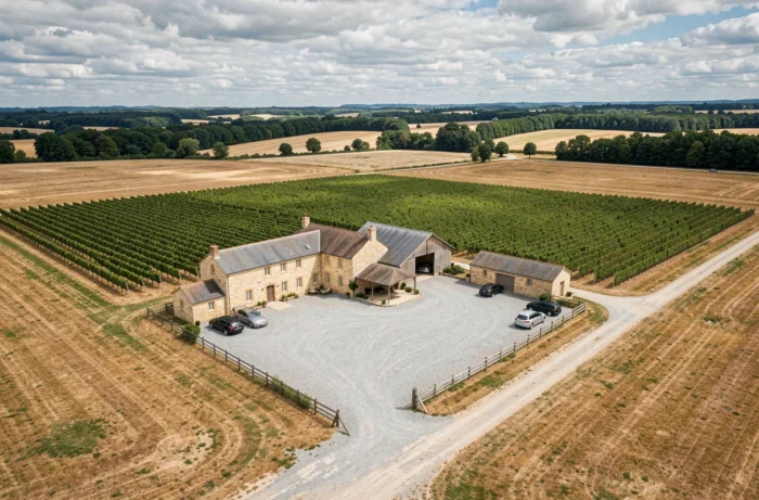
A castle, a vineyard estate, or an isolated property is difficult to sell with photos taken from the gate. Aerial video offers a visual narrative that positions the property within its landscape, a decisive factor for international buyers who do not always visit before making a first offer.
Photo retouching and post-production: the invisible cost of an aerial listing
The capture is just the first step. Retouching aerial photos and video editing represent a significant part of the final cost, often underestimated in entry-level quotes.
A serious provider delivers corrected files in exposure, white balance, and contrast, with the removal of unwanted elements (trash, poorly parked vehicles, distracting reflections). For video, editing includes stabilization, color grading, and possibly the addition of interior shots to create a smooth flow.
The quality of post-production differentiates a professional listing from an amateur capture. A consumer-grade drone produces usable images, but without appropriate retouching, the result may detract from the property rather than enhance it.
- HDR retouching of photos to balance shadow and light areas on facades
- Video editing with transitions between exterior shots and interior plans
- Export in formats suitable for real estate portals (file size, ratio, resolution)
The market for aerial photography and video in real estate is structured around providers capable of managing the entire chain, from flight declaration to delivery of the final file. The regulatory constraints of 2026 have accelerated this professionalization, gradually eliminating occasional operators.
For a seller or an agency, the choice of provider is now based as much on regulatory compliance as on the quality of their images.